Weekend Trek to Nag Tibba
Nag Tibba
Where sun sets slow
Context
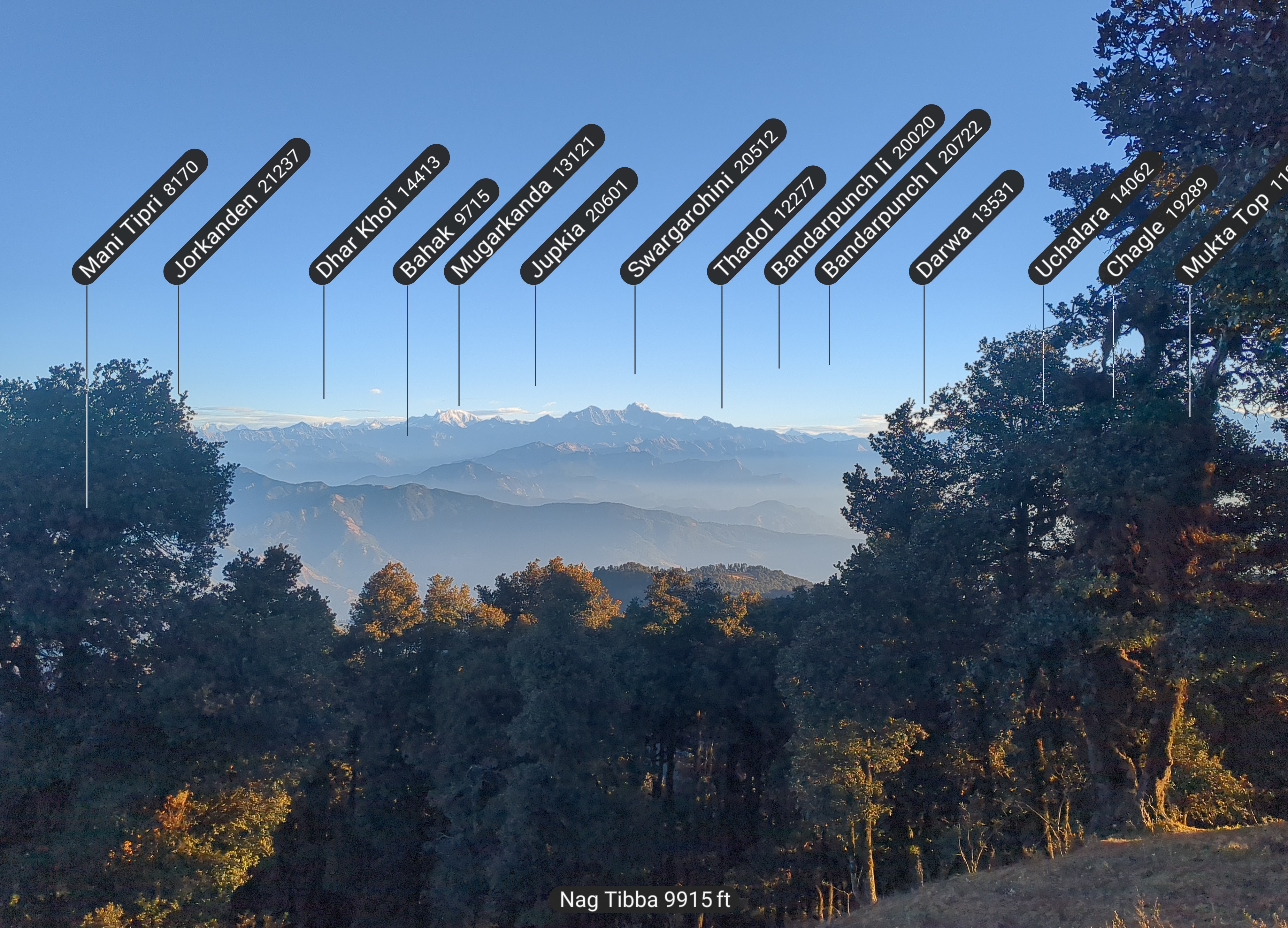
- Nag Tibba is the highest peak(9915 Feet) in lower Garhwal Himalayas.
- Major peaks visible
- Swargarohini
- Bandarpoonch
- Kala Nag
- Gangotri
- Popular for rhododendrons along the trek (Read on to find more)
- Weekend trek - requires 2 days and leaves you yearning for more
Meeting the Prerequisites
Me and my friend embarked on our incomplete mission to Nag Tibba summit to take a look at pristine peaks and sun rising from behind. The main motivation was to mark it complete little did we knew that we’d get breathtaking views of surrounding peaks, clear skies to gaze stars and most wonderful evening with best time to observe winterline.
We started on from Ghaziabad from train till Dehradun, met a sweet uncle on train who wanted us to be seated next to each other just because we were travelling together(little did he knew we both liked aisle). We packed up on a lot of snacks, only to devour them in the first hour of travel.
Reached DDN at 2200 hrs and rented bike from there. Arranged bungee tethers in almost gone condition. 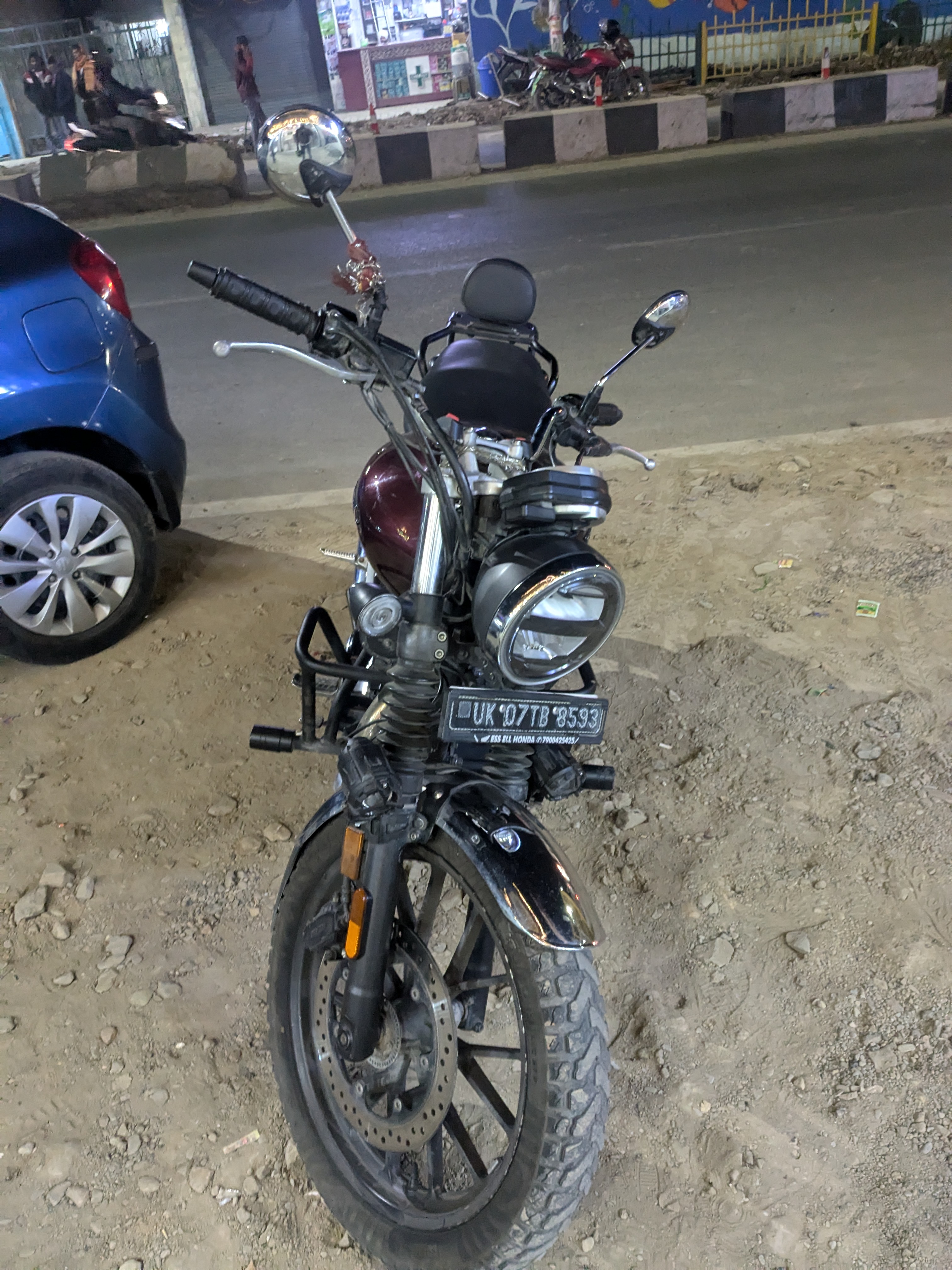 vCard
vCard
Full Name (FN): First Gear Bike Rental Dehradun
Name (N): Dehradun; First Gear Bike Rental
Phone Numbers (TEL): +91 91528 20785
Location: Google Maps Link
Rent : 1500 * 3(Days) + 2000(Refundable Security) = 6500 INR
Same guy who rented us the bike, ran a restro(Uska Punjabi Dhaba) and a hotel(Milan Palace) arranging stay was easy. We stayed in Hotel Abhinandan Grand, next to it. This is a separate story anyway.
Liftoff
Ended that night with unfathomable thoughts about universe, creation, devotion, evolution among others with my buddy for next 3 days. That was an interesting conversation that kept us awake for long. Got up early next morning and went for tea, freshed up and started to Pantwari village(Trailhead to Nag Tibba).
Had to cover 90Kms today in order to reach Pantwari, added few kilometers for scenic views. Stopped by at a scenic bridge to pay visit and pay regards to an awesome unnamed rivulet flowing down, meeting Yamuna. 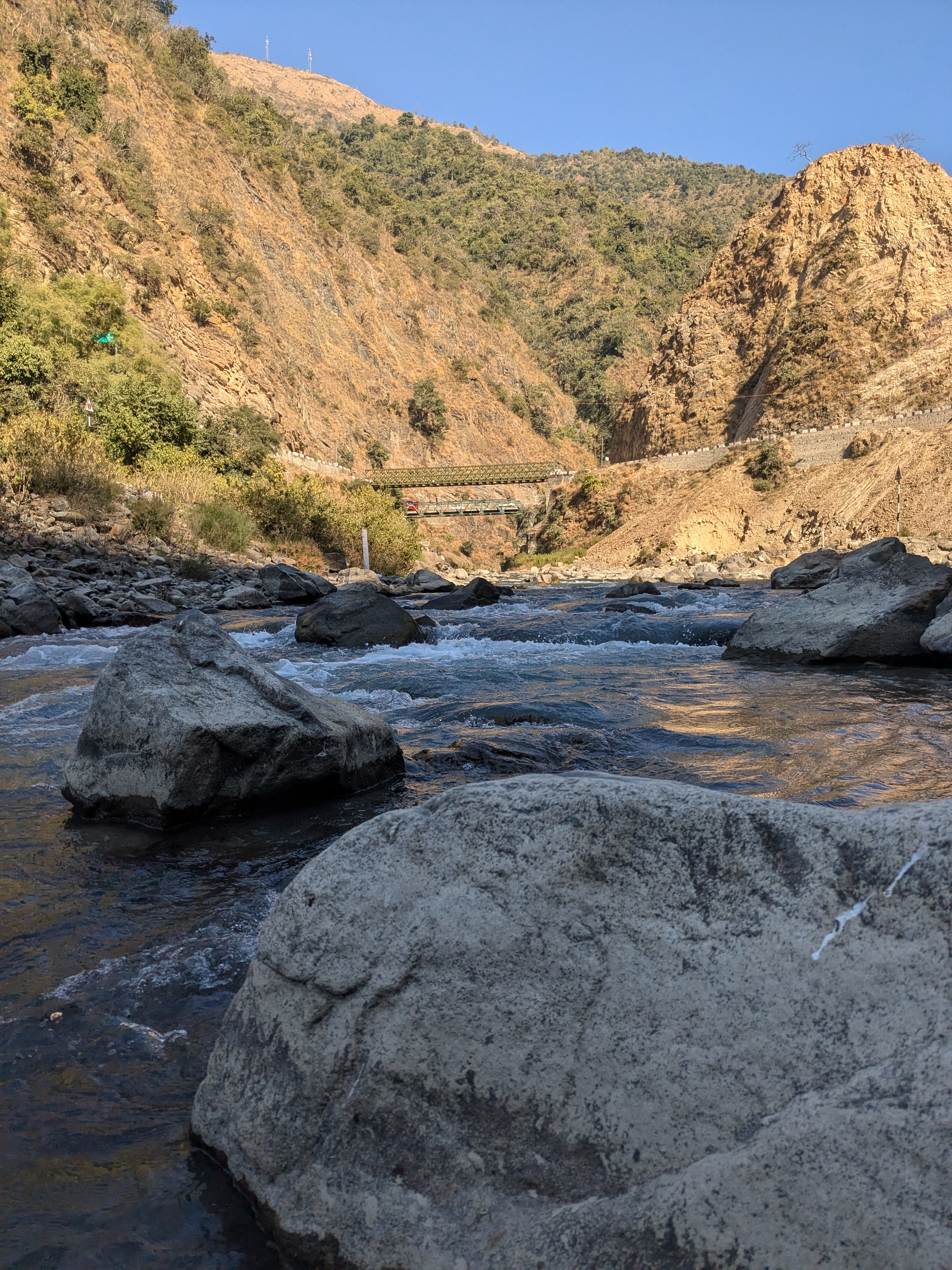
This awesome iron bridge was the one we crossed last time, but was defunct now. 
Carried on till we met with unswirling roads through the valleys, seldom passing locals and then the last stretch was the most beautiful. Suddenlt cold turned air pressing on un-visored cheeks, deep valley views with some homes dotting the landscape and meadows some other times. Long rows of trees and fodder stored on them. Long stretches of such roads and then hamlets where people are enjoying the sunny day on benches, shops, small markets. Postcard worthy scenes, that was the area ~5KMs to Pantwari and since this was a weekday we seldom crossed any other vehicle. 2-3 vehicles in full stretch to be precise. There was alternation of shadow and sunny roads going as our goal peak goes, serpentine. This was one of the best trip moments I can name in retrospect.
Reached Pantwari by 1330 hrs only to stop by at a natural water stream, fill out our bottles and a refreshing herb infused face wash which brand down the chills to the core of face muscles. 
Had a hearty Rajma-Chawal meal, parked bike and bought some snacks, sticks before embarking on the trek.
Mission Starts : Day 01
🌄🌳🌟
With the sticks behaving as trekking poles feeling more cumbersome than necessary, we commenced our ascent from 5,000 feet.
Today’s goal was to reach the basecamp, situated at 6,600 feet. The trail to Nag Tibba is characterized by a steep incline, This requires an elevated level of fitness, and you can’t keep up with the “small steps forward” strategy.
The experience of the climb, however, has been marred by recent developments. A newly constructed road now allows direct vehicular access to the basecamp. While this provides convenience to some, it has fundamentally altered the trekking experience, relegating significant portions of the original trail to obsolescence. Only two-thirds of the former trekking route remains accessible, with the remaining journey reduced to road traversal. The inevitable increase in vehicular traffic further detracts from the solitude and serenity that trekkers seek. This development undermines the immersive experience of traversing rocky paths, pausing to appreciate the panoramic vistas, and documenting the flora and fauna encountered along the way. 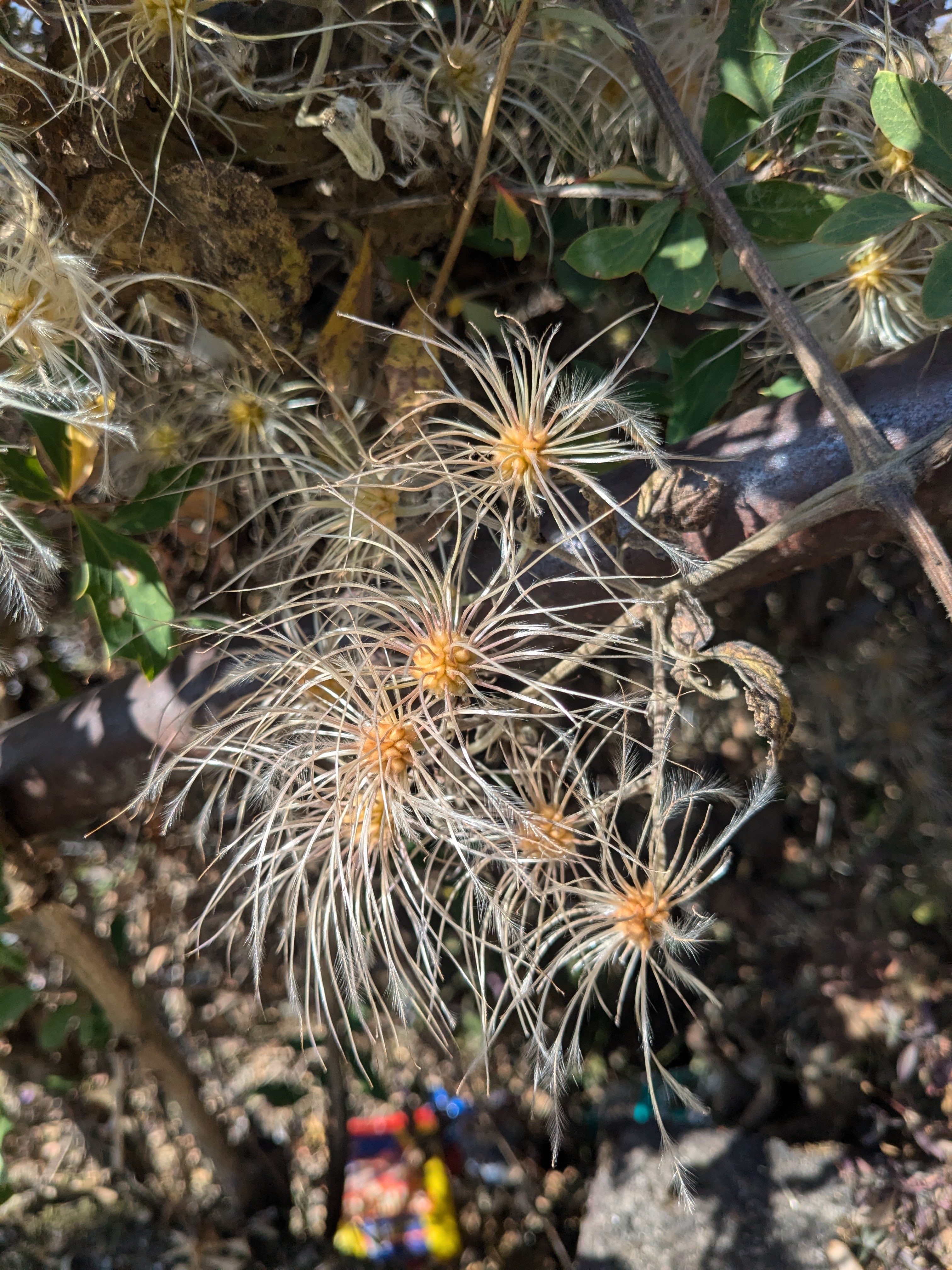
It’s just a road now.Though disheartened, I resolved to explore lesser-known trails nearby during my next visit. Perhaps this is an implicit nudge from the authorities to diversify trekking itineraries.
The remainder of the journey to the basecamp, however, was rewarding and we reached the base, breaking our best personal record. The guide was happy with our pace. Now, the magic unfolds. We went on a hillock nearby to watch the sunset, which was amazing, but what happened afterwards was the real show. I’ve never experienced such a spectrum of red—all the hues I can imagine from such a high altitude and clean, clear, dust-free clouds and surroundings. It was surreal; the entire environment, post-sunset, was bathed in layers of red more than it was at sunset. This was my best winterline experience. The winterline was prominent, well-produced, and making its presence felt everywhere and all around. 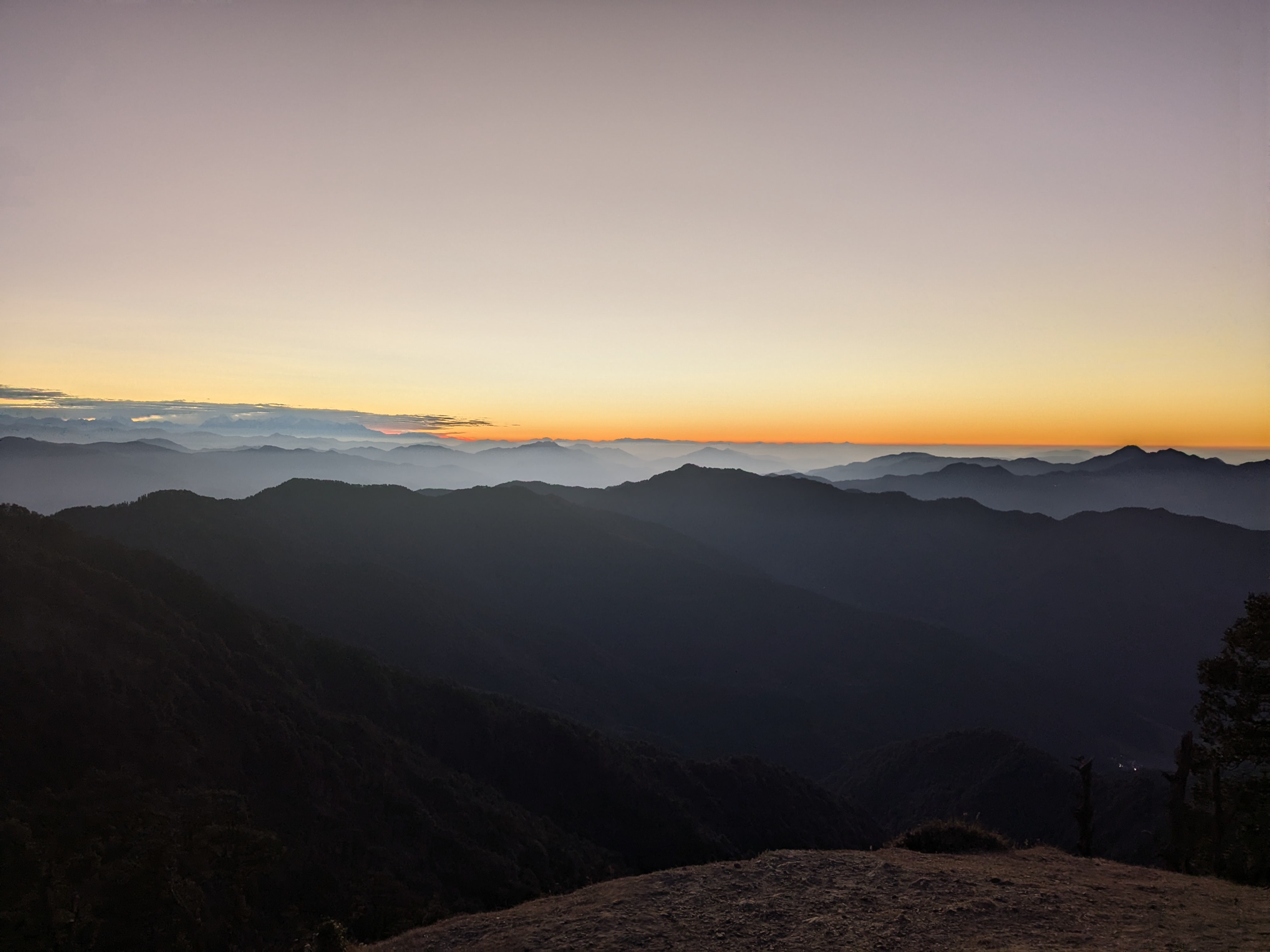
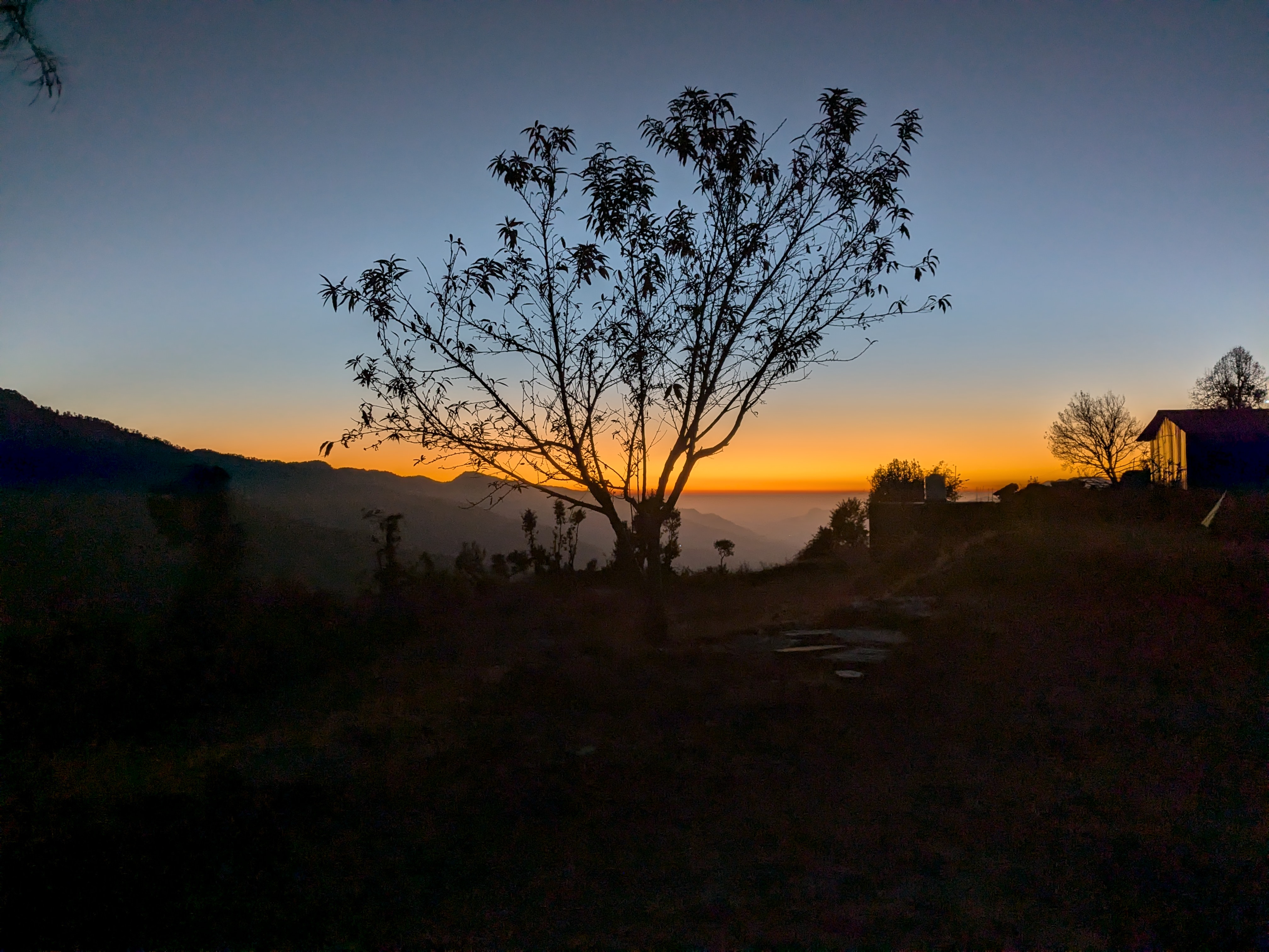
We had Maggi and tea while the sun had dipped, and the magic of the winterline was still wrapping us in its wonders. Truly majestic. Blessed are the ones who experience it often. Soon, it was chilling around, and complete darkness left us with only the one battery-powered LED our guide was using to cook dinner. This was our chance. We knew a place nearby (from the last visit) that was completely adorned in darkness. We wore our headlamps and got equipped with flashlights to embark on this heading. There were frozen leaves on the way, suggesting no sunlight reaches there in the full span of the day. A few steps down, we were there, at a distant open space, which is a perfect spot to stargaze or observe very distant settlements that consisted of a single home—two such settlements, distant apart but not contributing to any light glow or pollution. Just binoculars can spot them. 
✨🌌🔭 We turned off all lights to adapt our eyes to the dark. A few minutes later, we suddenly realized it was the Andromeda galaxy, shining in its full glory on the top of our heads. We lay down there. Time seemed to stand still as we lay there, observing countless stars, constellations, planets, and meteors until the sharp beam of our guide’s flashlight interrupted our reverie, who had come searching for us. We went back with him, had dinner in the cold night, and later enjoyed a bonfire. Then, we went to our sleeping bags for sleep. My friend was fast asleep, but I still kept pondering about the clear and verdant view I got of the galaxy. Stars shooting by, space full of tiny dots, nimble and disciplined, showering their photons, journeying across the cosmos to meet my gaze, made the universal bond stronger. The belongingness peaked, and awe struck.
That’s what cosmos does to you.
Image can never justify that sight, still this is what we got on a 15s shutter. 
Gone to bed early since we had to start by 0330 to reach the summit in time for sunrise.
Day 02
We had to wake up by 0300 hours in order to start on time. I woke up by 0230. It just happened, and I discovered I had a good sleep and felt rested, though my watch had not registered sleep, maybe because I moved a lot. We started the hike at 0334 hrs. Two groups had already started by 0300 hrs. It was steep and dark, so it reduced our pace further. We took breaks in between, and it was not long before we met the first groups. There was a bunch of guys and chatty girls. Another 15 minutes, and we met another group of trekkers—2 of them from Australia and Brazil.
To my astonishment, we reached the peak sooner than anticipated, only to find it abuzz with activity. 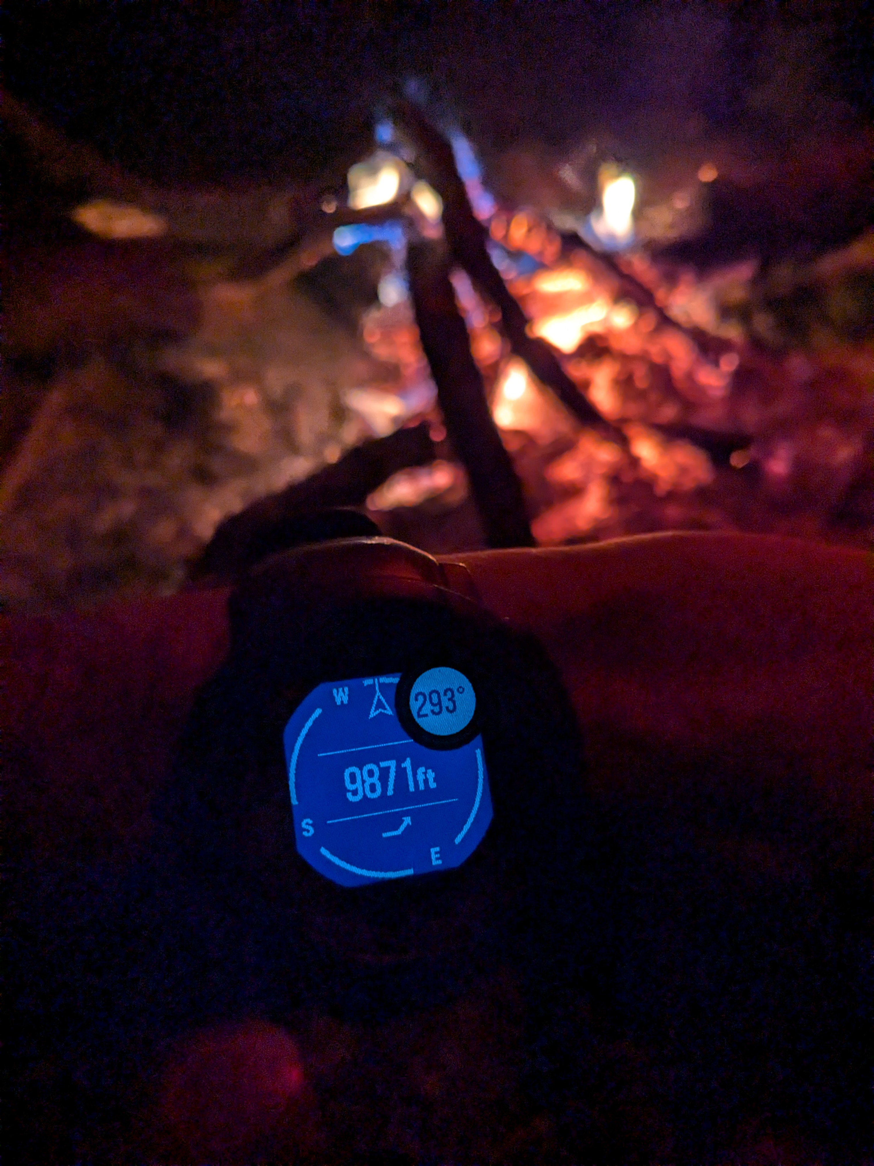
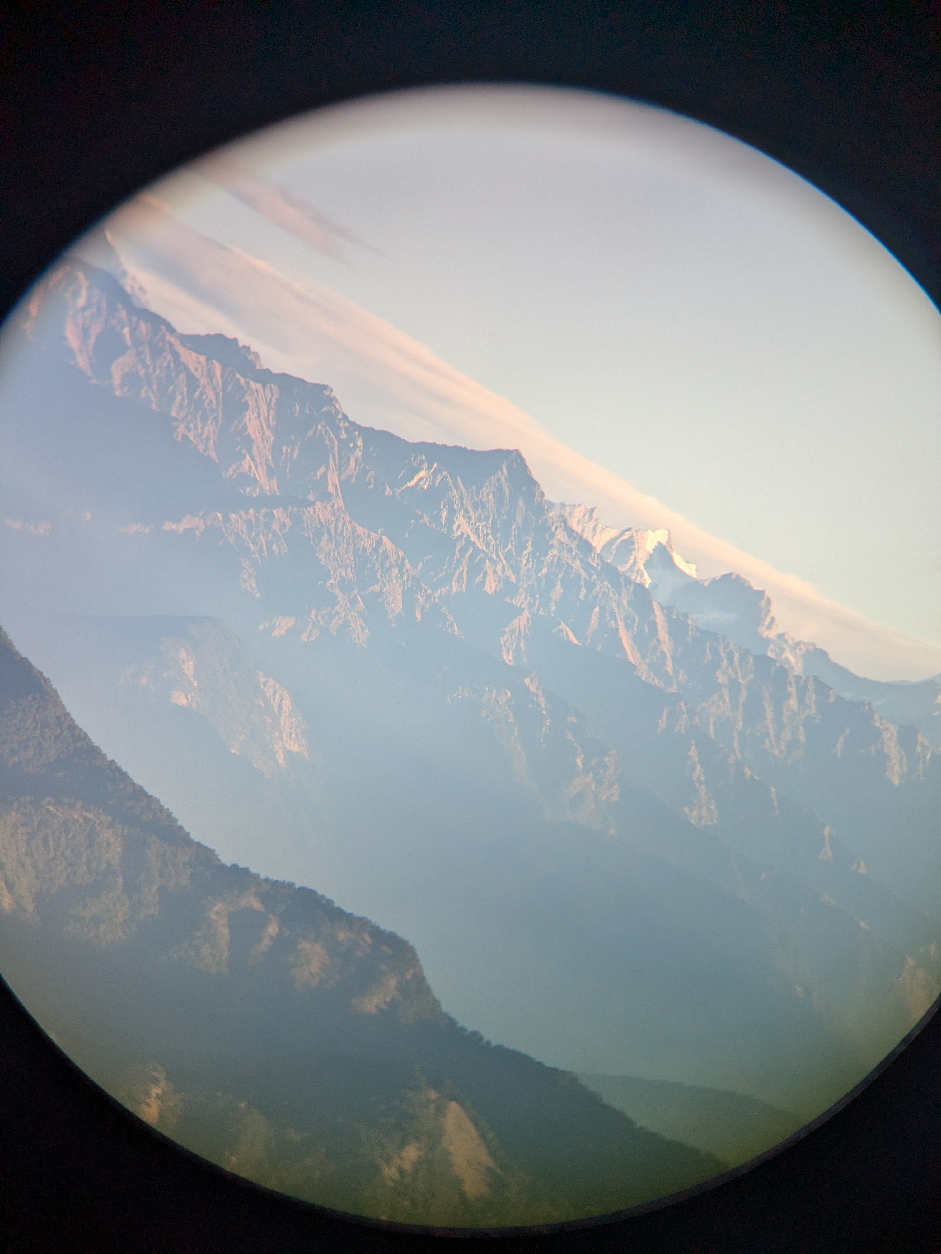
What further rushed my adrenaline was that there was a trail run being organized that day. It originated from Devalsari, a staggering 44 km run forth and back to Devalsari. Braving the biting winds we waited for the majestic sunrise to happen. Behind us, it was just four trekkers on top, resisting strong gusts of wind when my portable thermometer read 0°C. One of the trail-running volunteers already showed me a potential water source. It was amazing—cold, windy, and sun rays sending chills down the spine. A lapse and observing session later, the tea came—a lifesaver, served as the best hand warmer. I met a gentleman photographer and observed peaks on my 10*42 binoculars (thanks to the weather):
Observations
- Kedarnath
- Gangotri I, II
- Chaukhamba
- Nilkantha
- Hathi Parbat
- Ghori Parbat
- Nanda Devi (not clearly)
- Swargarohini (the most clear of all)
- Bandarpunch I, II
- Kala Naag
- Devalsari Village
- Nearby villages and settlements
Soaked up in the sun for a while, we descended to Nag Devta temple. This was the postcard worthy scene on the descent. 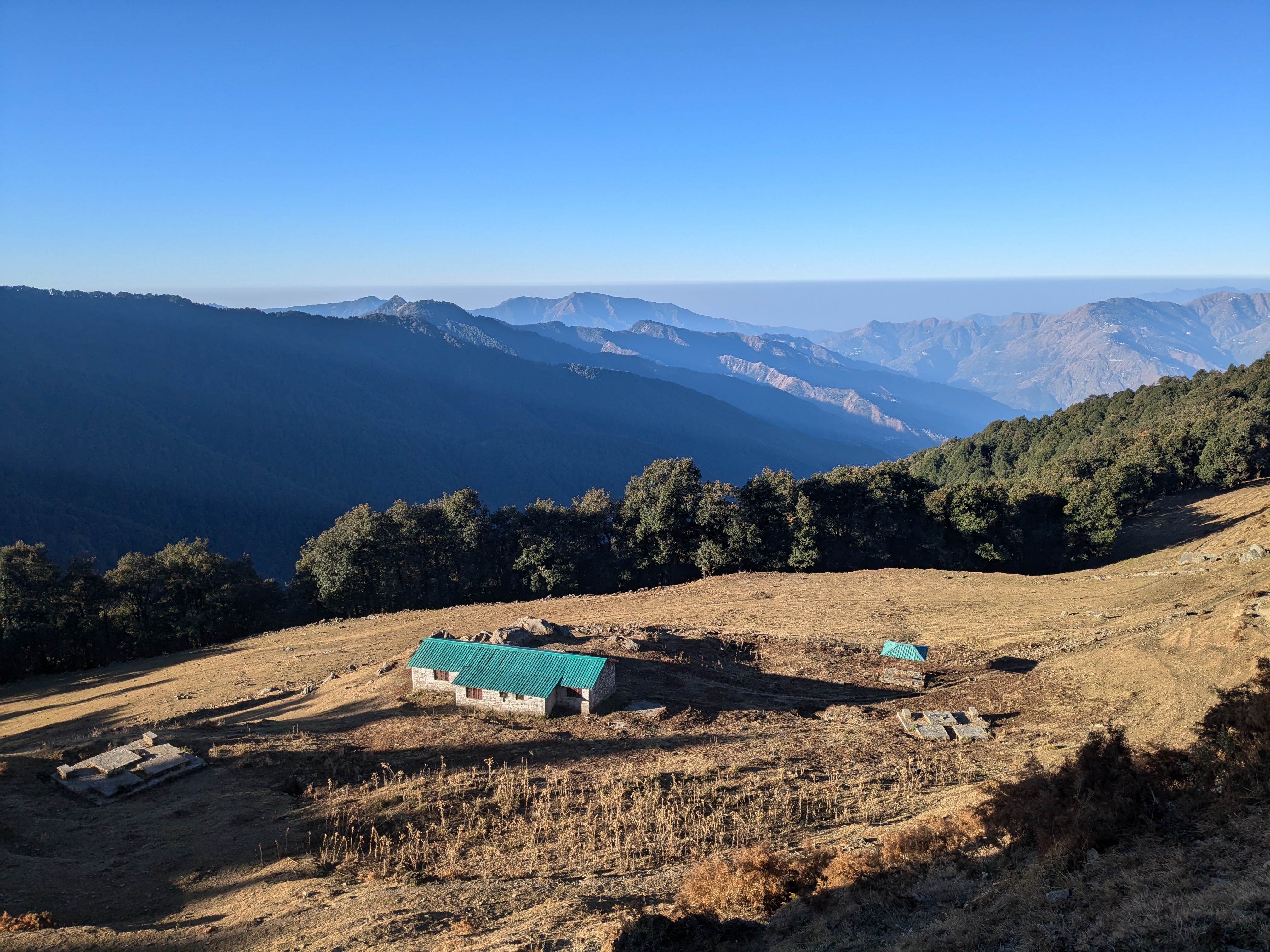
Paid regards to the deity and further descended to the basecamp in a total of 2 hours. Had another sunbathing session at the trek start point before having lunch at a beautiful café overlooking the hills. Then, we descended to Pantwari in 143 minutes. Onwards to Mussoorie via Landour for another sojourn.
Strava Logs
Instinct 2 Solar got stuck as always, so few meters on the first one are lost!
